Wilsonuv Les or Wilson’s Forest in English is another spectacular spot of greenery in Brno. According to a website I found, it was ‘founded in 1882 by the landowner and notary LudvÃk OdstrÄil in close proximity to the then settlement of Kamenný mlýn in the south of the cadastre of the village of ŽabovÅ™esky. Thanks to his cooperation with the Afforestation and Decoration Association of Brno, a forest park with today’s area of ​​almost 34 ha was created. The current Wilson Forest is at the foot of the slope, the Pod lesem sports complex with the historic RosniÄka restaurant and the multi-purpose sports hall of the same name. At the beginning of the 1970s, a gap was cut in the forest park and a ski slope with an artificial surface was set up, but later it was taken out of operation and fell into disrepair. Although a plan for restoration was created at the beginning of the 21st century, unfortunately a number of ŽabovÅ™esk residents, including a civic association, opposed it. Therefore, this plan was abandoned and in 2008 it was decided to include this section in the forest park. In the years 2011-2014, the park was reconstructed with the support of the European Regional Development Fund and the State Environmental Fund of the Czech Republic. As part of this implementation, the removal and treatment of woody plants and the planting of new vegetation elements took place. The forest park is located on the slope of a rocky hill on the left bank of the Svratka River in the modern cadastral areas of Stránice, Pisárky and ŽabovÅ™esky.’
You can see where it is on the map below – it is marked with the red blob and labelled Wilson Forest Park. My home is shown in a blue blob in the lower right side of the map just below Hrad Spilbirk (Take a walk with me around the castle?)

On the map, you can also see the location of Kostel svateho Augustine (St. Augustines Church) and may recall I had mapped an energy line from the Castle all the way to that church. The line continues down to the park. So today I thought I’d take a look around the park and see if I could track the line a bit further.
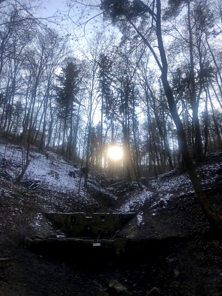
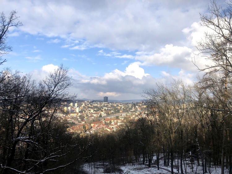
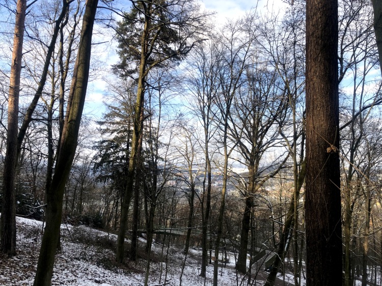
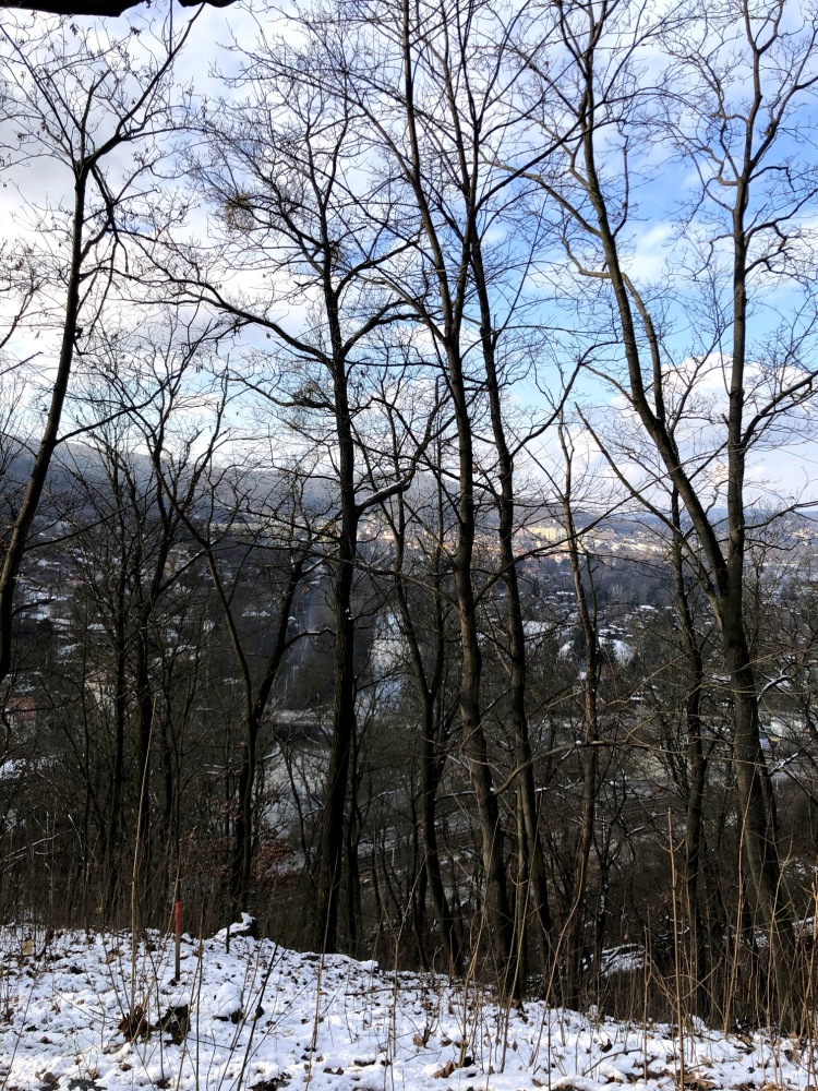
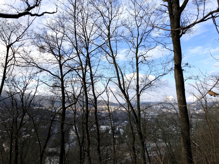
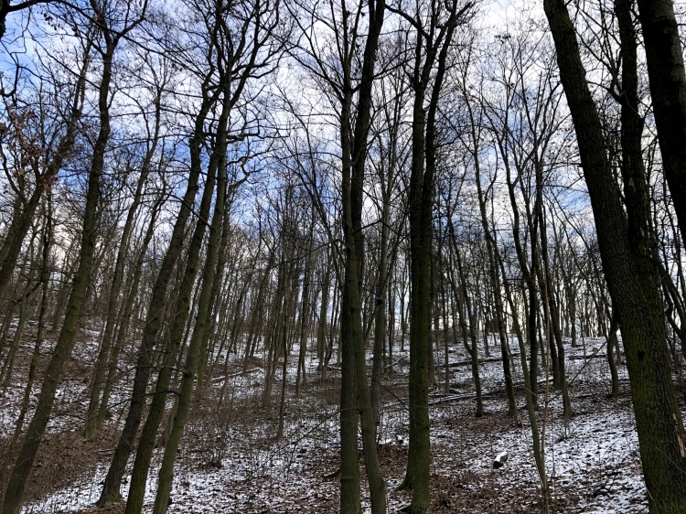
I started by walking the opposite direction to do the grand tour of the park. It is really beautiful and offers spectacular views of the city as you can see in the photos.


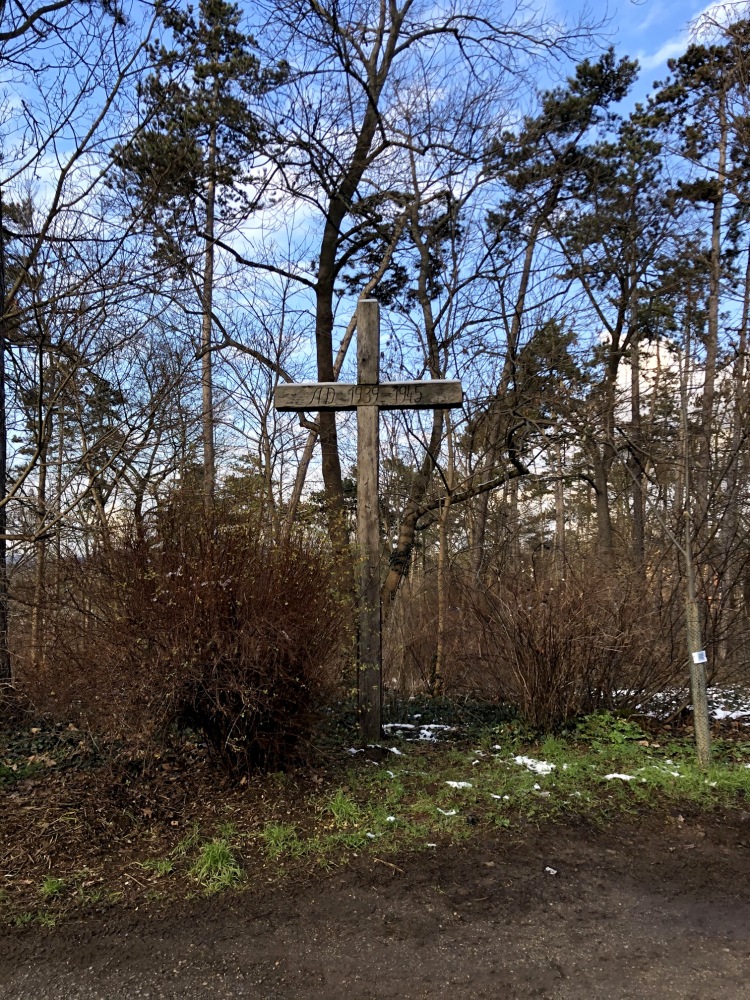
After circling the park, my challenge was to find the line. In other words, I was not working from the last point I had found it but instead trying to find it on the other side of the park and then would work back to the last place I had mapped it previously. This is a bit more challenging as I have to find the line and work back. However, to my surprise, I found the line within 100 m of commencing dowsing and then started to work my way back. I tracked it across the park and to the end of the street that goes up to St. Augustines. There, again to my amazement, I found a cross directly on the line at the edge of the park. It must be a war memorial looking at the dates but it lacks any other inscription. But once again, I was forced to muse about how it got to be placed on an energy line???

Further mapping will have to wait for another day….. but I enjoyed visiting Wilson’s Forest.